Our Research Methodology
A systematic approach to collecting, organizing, and presenting urban density information
1 Source Identification
When starting a new research area, we identify reliable data sources including national census bureaus, municipal planning departments, academic institutions, and environmental agencies. Each source is evaluated for accuracy, currency, and methodological transparency before inclusion.
2 Data Collection & Verification
Our team gathers urban density metrics, demographic information, infrastructure data, and sustainability indicators. All numerical data undergoes cross-referencing with multiple sources to ensure reliability. When discrepancies appear, we document them and provide context about different measurement approaches.
3 Categorization & Organization
Information is structured by geographic region, topic category, and time period. This organization allows researchers to quickly locate relevant data for specific cities or compare trends across different metropolitan areas. Each dataset receives descriptive metadata explaining what it measures and how it was collected.
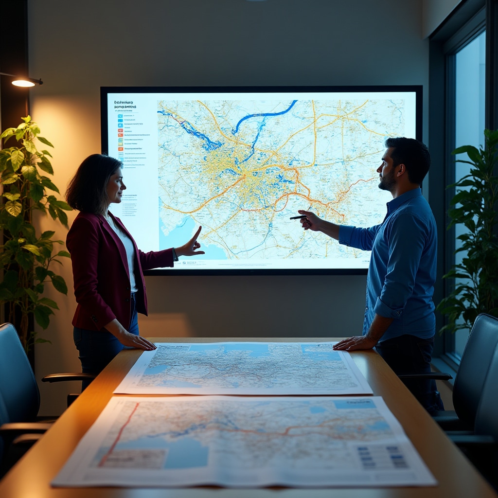
4 Visualization Development
Complex datasets are transformed into accessible visual formats including density maps, demographic charts, and infrastructure diagrams. These visualizations help users understand patterns that might be difficult to grasp from raw numbers alone.
5 Regular Updates & Maintenance
As new studies are published and government reports become available, the portal is updated to reflect current information. We maintain a change log documenting when datasets are added or revised, ensuring transparency about the currency of information.
Data Quality Standards
Ensuring reliable and accurate urban information
Source Documentation
Every dataset includes clear attribution to original sources. When you access density statistics or demographic data, you can see exactly where the information originated and review the methodology used to collect it.
Currency Tracking
Each piece of information displays its publication date and the time period it covers. This allows researchers to understand whether they're working with current data or historical information useful for trend analysis.
Methodology Transparency
When different organizations measure the same phenomenon using different approaches, we explain these methodological variations. This helps users understand why density figures might vary between sources.
Verification Process
Before adding new data to the portal, our team cross-references information with multiple sources when possible. Outliers or unexpected values are investigated to ensure they represent actual conditions rather than errors.
Research Focus Areas
Key topics covered in our urban density information portal

Demographic Analysis
Population distribution patterns, age demographics, household composition, and migration trends affecting urban density in Argentine cities.
Infrastructure Mapping
Documentation of public services, utilities, transportation networks, and how infrastructure capacity relates to population density across different zones.

Environmental Impact
Studies on how urban density affects air quality, green space availability, water resources, and opportunities for sustainable development practices.
Information Organization Approach
How we structure data for different user needs
For Academic Researchers
Detailed methodology documentation allowing replication and verification of findings
Complete source citations enabling literature review and further investigation
Raw datasets available for statistical analysis and custom visualization
Historical data series supporting longitudinal studies and trend analysis
For Urban Planners
Geographic visualizations showing spatial distribution of density and services
Comparative data across municipalities facilitating benchmarking and best practice identification
Case studies documenting successful sustainable development initiatives
Growth projections and scenario modeling data supporting long-term planning
Collaborate With Our Research Team
When you have specialized data needs, questions about our methodology, or suggestions for expanding the portal's coverage, we welcome input from the urban research community.
We work with universities, planning departments, and research organizations throughout Argentina to ensure the portal serves diverse information needs.
Get Involved
Reach out to discuss data access, research collaboration, or portal enhancement ideas
Contact Our Team