Urban Density Research Database
Explore comprehensive data and analysis on Argentina's urban development patterns
Metropolitan Areas
When you need information about major urban centers, access detailed density profiles for Buenos Aires, Córdoba, Rosario, Mendoza, and other Argentine metropolitan regions.
Density Metrics
Review population per square kilometer data, residential density patterns, and how these metrics vary across different neighborhoods and municipalities.
Demographics
Explore age distribution, household composition, migration patterns, and socioeconomic indicators that influence urban density across regions.
Infrastructure
Access data on transportation networks, public services, utilities distribution, and how infrastructure capacity relates to population density.
Green Spaces
Examine urban park distribution, green corridor systems, and the relationship between density and access to natural areas in cities.
Housing Patterns
Study residential development types, building heights, lot sizes, and how housing characteristics vary across density zones.
Database Categories
Research organized by topic for easy navigation
Regional Comparisons
When you need to understand how urban patterns differ across Argentina, compare density metrics, growth rates, and development approaches between provinces and municipalities.
Historical Trends
Review how density patterns have evolved over time, examining historical census data and development records to understand long-term urban growth trajectories.

Sustainability Indicators
Access environmental performance data including air quality measurements, green space ratios, energy consumption patterns, and sustainable transportation metrics.
Planning Resources
Explore municipal zoning regulations, land use policies, development guidelines, and planning frameworks that shape urban density across Argentine cities.
How to Use the Database
Accessing and interpreting urban density information
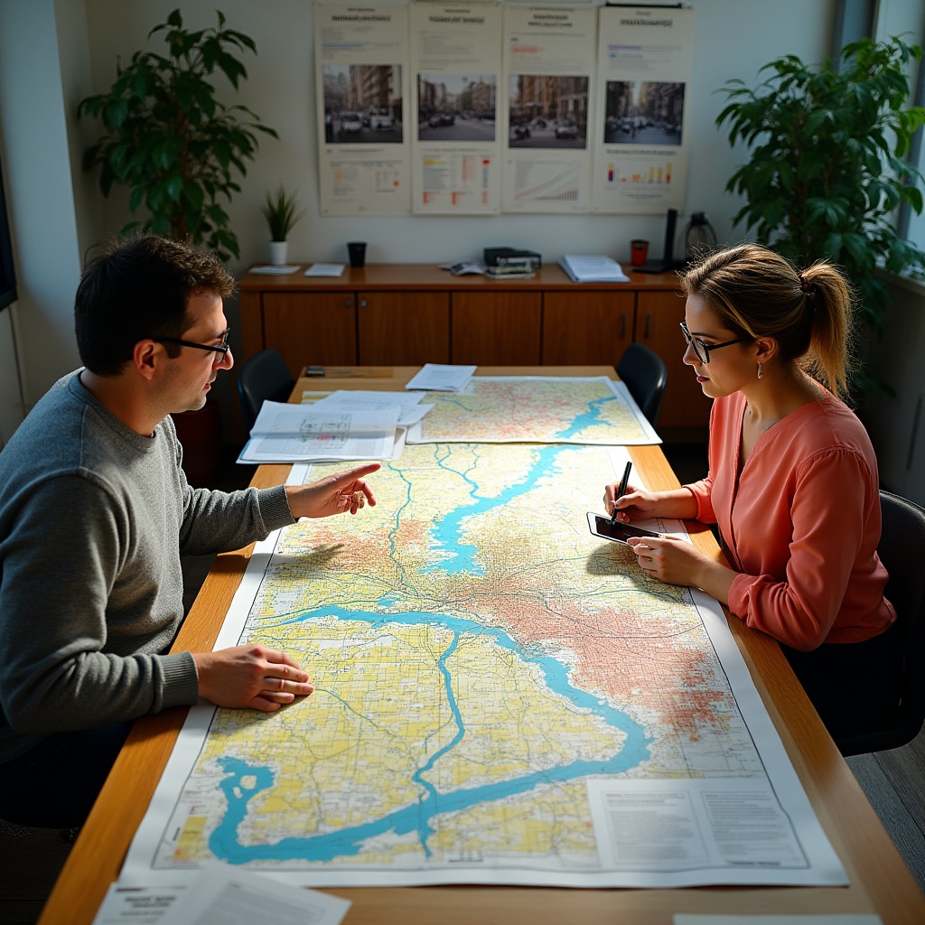
1 Select Your Region
Start by choosing the geographic area you want to study. The database organizes information by province, municipality, and neighborhood level, allowing you to focus on specific locations or compare multiple areas.
2 Choose Data Categories
Select which types of information you need: demographic profiles, infrastructure data, environmental indicators, or planning documents. Multiple categories can be viewed simultaneously for comprehensive analysis.
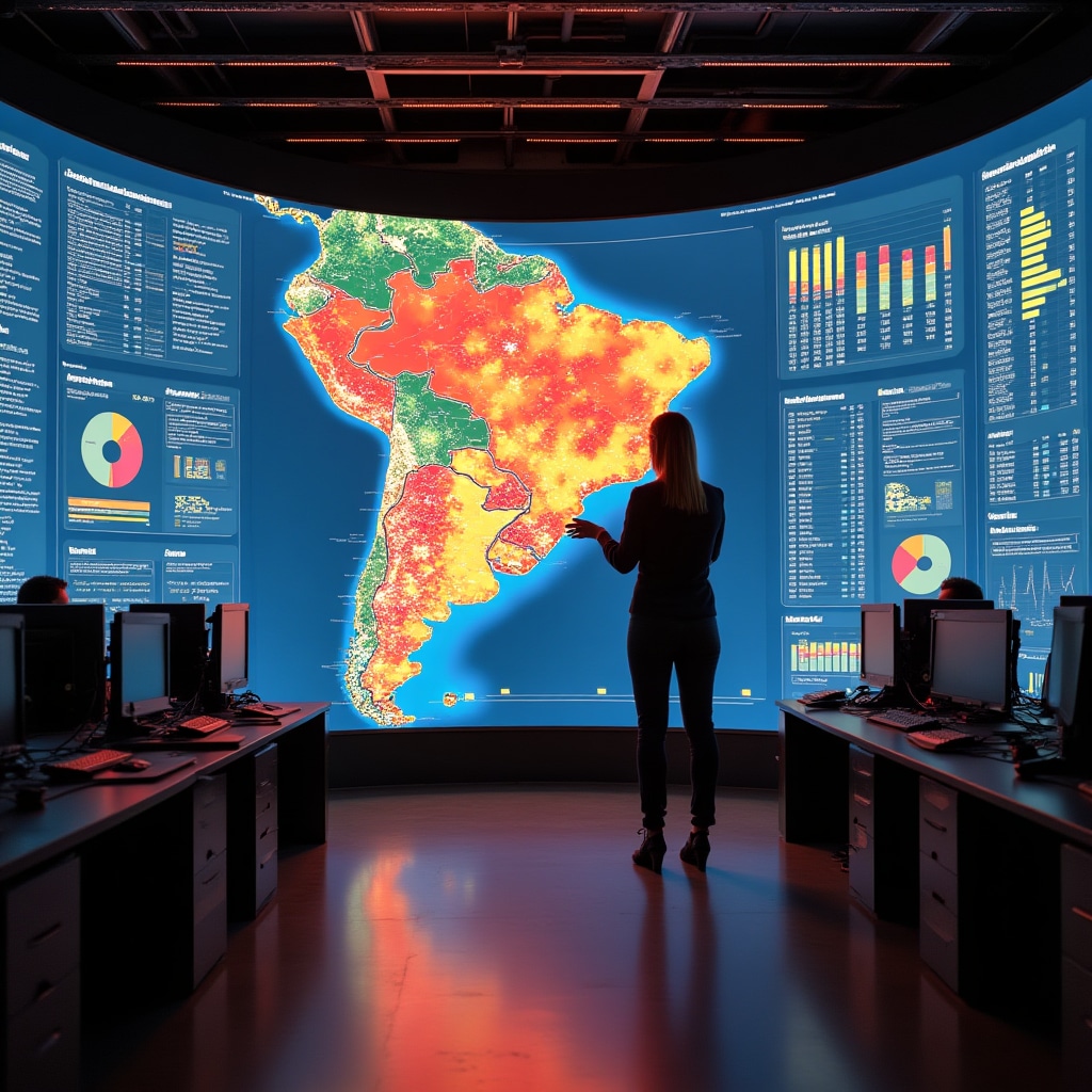
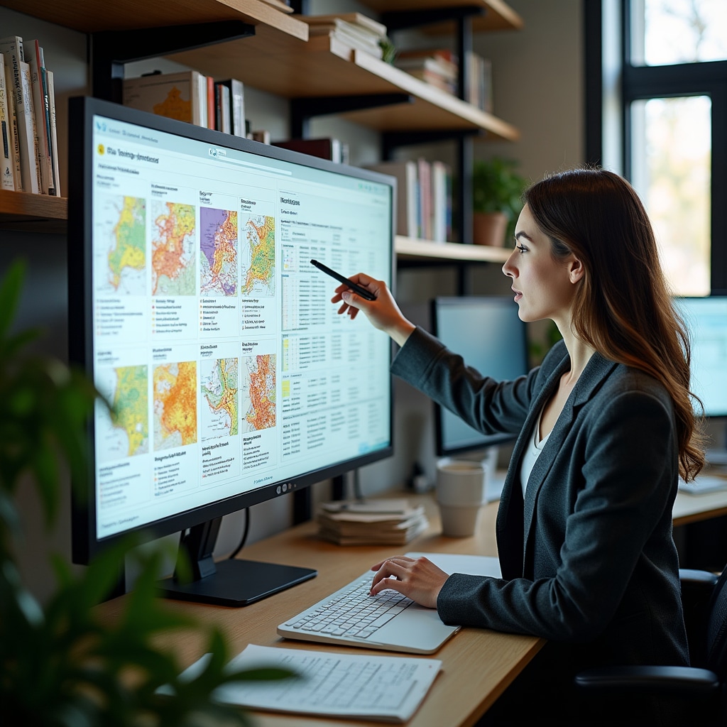
3 Review Visualizations
Data is presented through maps, charts, and graphs that make patterns clear. Interactive elements allow you to adjust time periods, compare regions, and explore specific metrics in detail.
4 Access Source Documentation
Each dataset includes information about its source, collection methodology, and date of publication. This documentation helps you evaluate data quality and understand any limitations.
Need Assistance with Data Access?
When you have questions about using the research database, need help interpreting specific datasets, or want to discuss custom data analysis for your research project, our team is available to provide guidance.
We work with academic researchers, urban planning professionals, policy analysts, and community organizations throughout Argentina.
Get Support
Contact our research team for database assistance and data interpretation help
Contact Us